Tools Managing Climate Risk in Agriculture
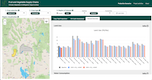
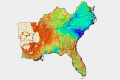
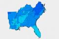
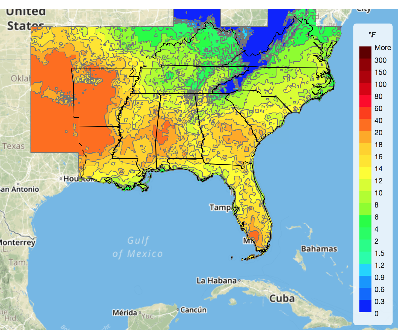
Climate Indicators
Climate tools are based on weather stations and gridded weather data from different sources. They are designed to inform users on current climate conditions and the effects of annual cycles such as the El Niño Southern Oscillation on weather patterns in the Southeastern U.S.A.
 |
Climate Indicators DashboardMonitoring various climate indicators |
 |
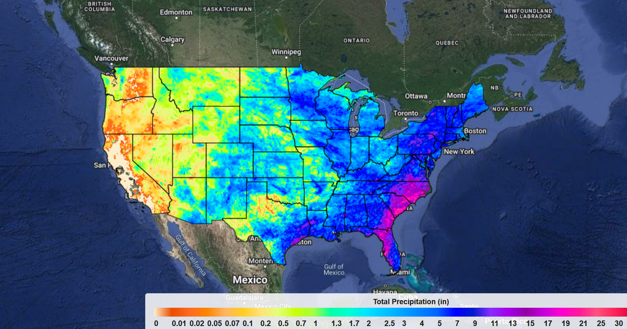
Rainfall and Temp. MonitoringObserved rainfall and temperature |
 |
Growing Degree Days MonitoringMonitoring maps of growing degree days |
 |
Growing Degree Days CalculatorMonitoring and forecasting of growing |
 |
Heat Stress MonitoringAccumulated daily maximum temperature |
|
ARID (Spatial)Agricultural Reference Index for Drought |
 |
ARID (Stations)Agricultural Reference Index for Drought |
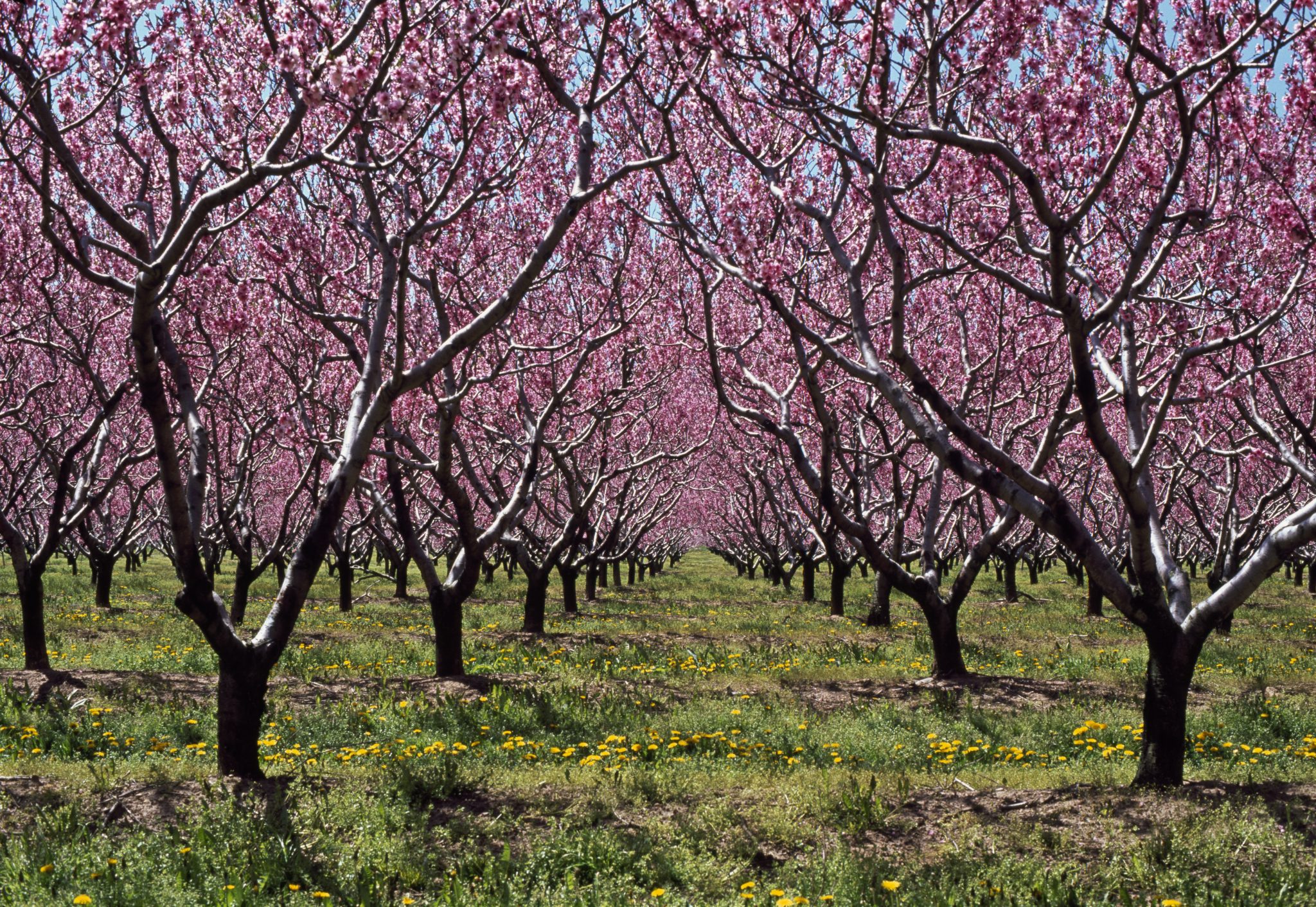 |
Chill Accumulation Calculator (Beta)Monitoring and forecasting of chill hours and chill portions |
 |
Chill Hours CalculatorMonitoring and forecasting of chill hours |
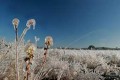 |
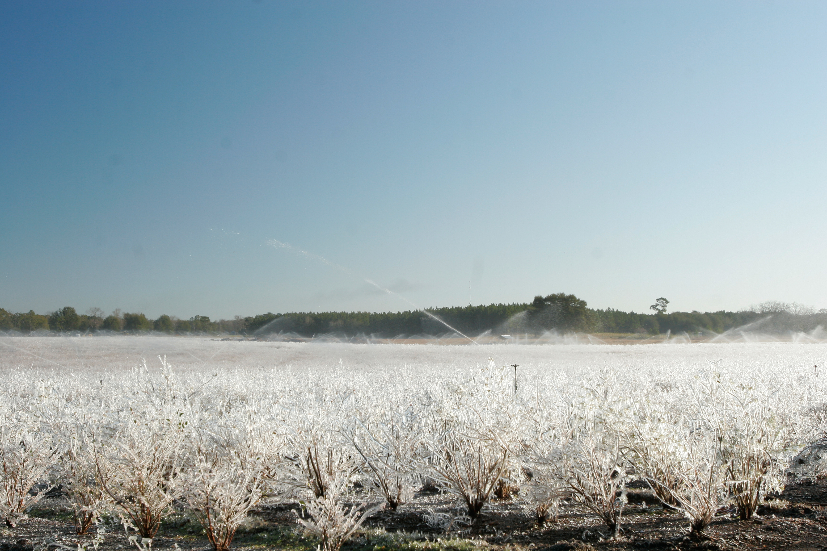
Freeze Risk ProbabilitiesFreeze probabilities based on El Niño Southern |
 |
Cooling and Heating Degree
|
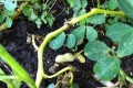
Pests and Diseases
Crop disease tools are developed primarily to provide information about risk of infection and need to apply pesticides or not based on environmental conditions. They help growers avoid unnecessary applications and reduce cost of production.
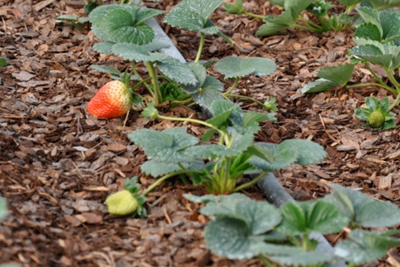 |
Strawberry Advisory SystemRisk of Anthracnose and Botrytis fruit rot |
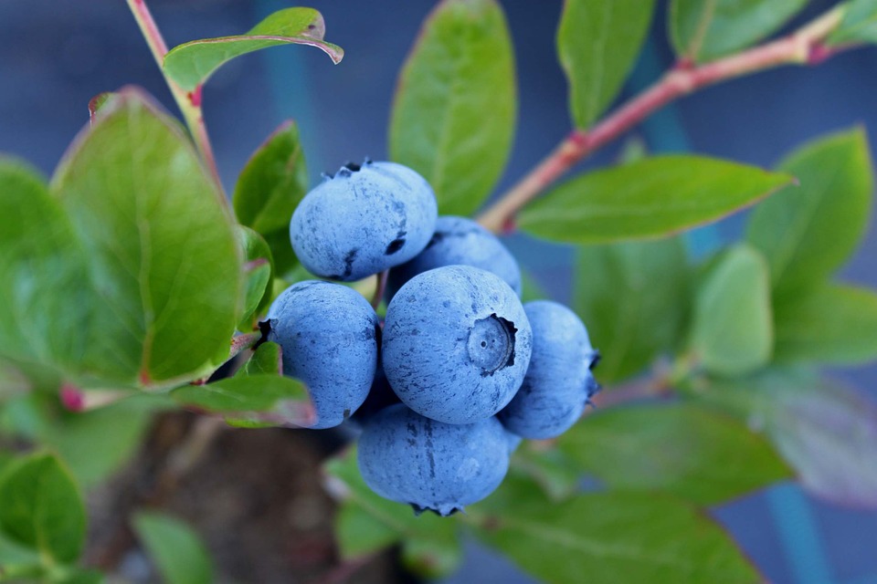 |
Blueberry Advisory SystemRisk of Anthracnose and Botrytis fruit rot |
 |
Citrus Copper ApplicationCopper residue calculator |
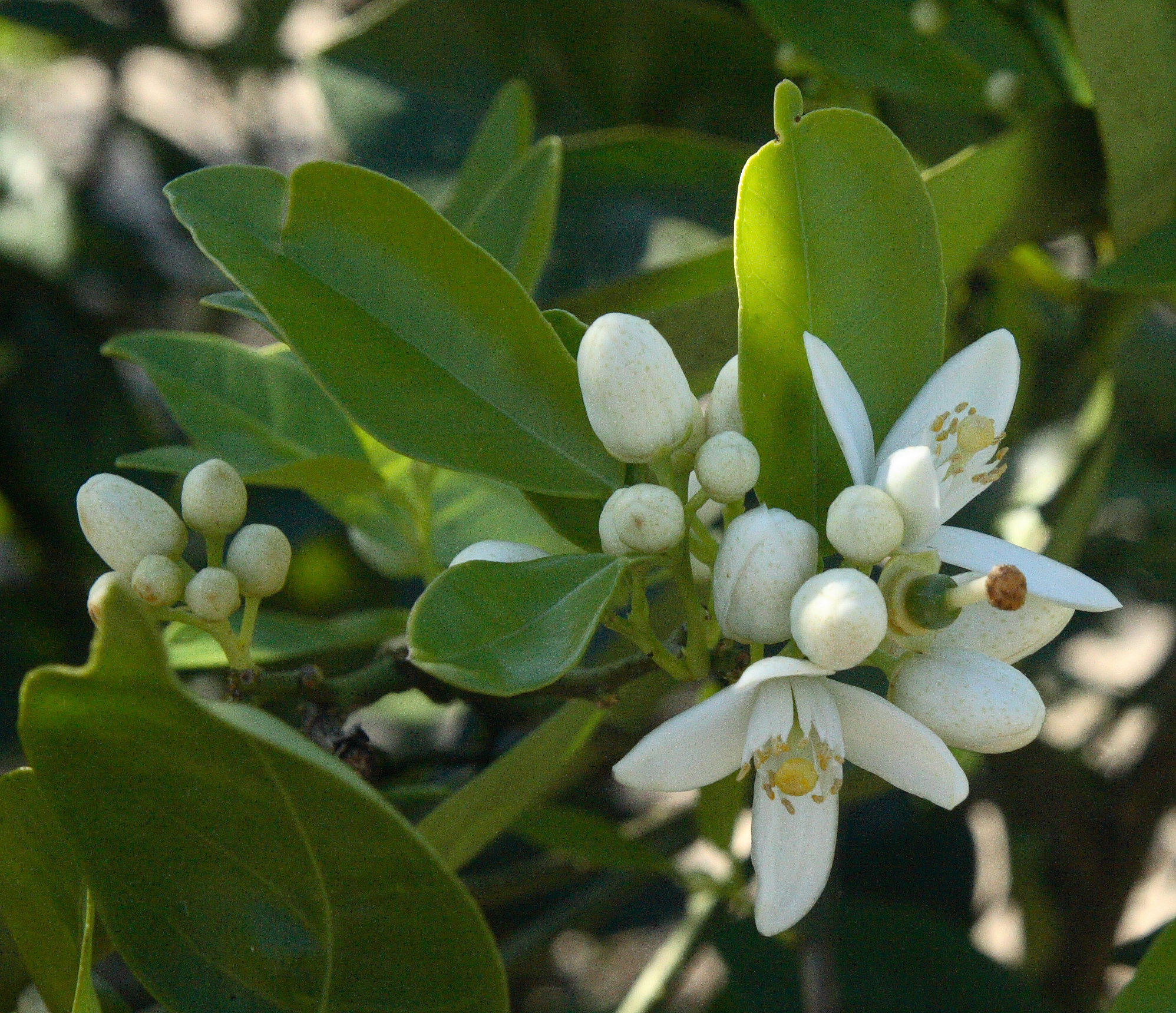 |
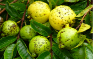
Citrus Advisory SystemRisk of Postbloom fruit drop |
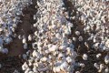 |
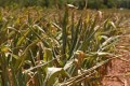
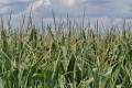
Cotton Pests in FloridaCotton Pests in Florida. |
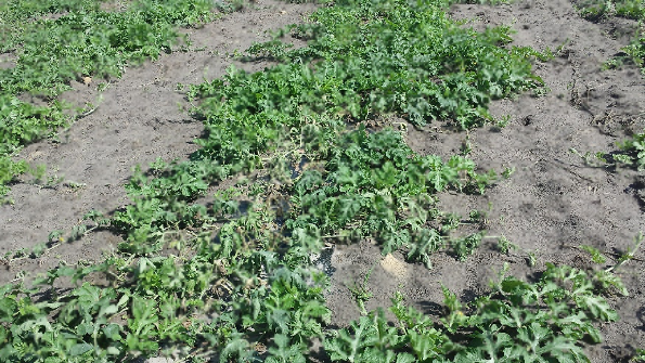 |
Watermelon WiltWatermelon Wilt risk calculator. |
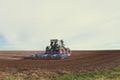
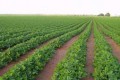
Crop Yield & Development
Crop yield tools are designed to help users investigate the effects of climate on crop yield and development. They are based both on historical yield records and crop model simulations.
 |
County Yield StatisticsCrop yield series, trends and residuals at the county level |
 |
Crop Season PlanningPlan your crop season based on phenological stages |
 |
Planting Date PlannerProbability of low, medium, and high yields based |
Phenology and Weather TrackerTracking phenology and weather |
Footprint Calculators
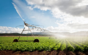
Footprint calculators are designed to help the agricultural industry evaluate the sustainability of crop production systems in the Southeastern U.S.A.
 |
Carbon Footprint CalculatorEmission of greenhouse gases to produce, |
Fruit and Vegetable Supply Chains
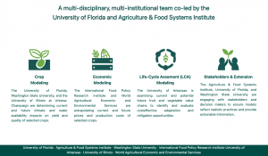
Fruit and Vegetable Supply Chains Climate Adaptation & Mitigation Opportunities Production Scenarios